 | Herdubreid from the east (photographer unknown) |
Herdubreid
5518 ft (1682 m) . |
||
| Location: | Northeast Iceland, 60 miles (95 km) SE of Akureyri | ||
| Lat / Long: | 65.2° N, 16.3° W | ||
| Volcanic Type: | Tuya | ||
| Volcanic Status: | Dormant / extinct | ||
| First Ascent: | |||
| First Ski Descent: | |||
| Skiable Vertical: | up to 3900 ft (1200 m) | ||
| Herdubreid is the most well-known of Iceland's many tuyas, which are table-mountains formed by subglacial eruptions which melted through to the surface of the former ice sheet. It is completely surrounded on all sides by steep cliff bands just below its summit plateau, atop which sits a small 600 ft (200 m) high summit cone which erupted subaerially after the volcano broke through the ice sheet. Unfortunately, Herdubreid lies just to the northeast of Vatnajokull and thus in its rain shadow, which makes the region somewhat of a cold desert (known as the Ódádahraun, "the desert of crimes"). This limits the snowpack substantially compared with other regions of Iceland, although there is enough snowfall to maintain a modest ice cap on the summit. During a season with adequate snowpack, Herdubreid would make a spectacular albeit dangerous extreme ski descent via any of several gullies which cut through the cliffs. | |||
 |
More photos and info about routes, access, etc. may be added in the future ... |
||
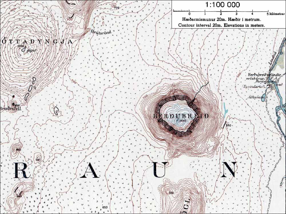
| Topographic map of Herdubreid (1:100,000 scale) <click to enlarge> |
|||